|
Bristol Bay photos |
|
|
These photos are from the Bristol Bay segment of my month-long, 450+ mile Trek through the Pebble Mine watersheds The Pebble Mine project is a controversial proposal by Northern Dynasty Minerals to build one of the largest gold and copper mines in the world, in southwest Alaska, near Lake Iliamna. Northern Dynasty has not yet applied for permits, but their current proposal involves both a large open pit and an underground mine, as well as removal of the water from the headwaters of Upper Talarik Creek and the Koktuli River ( important fish habitats). The site sits at the headwaters of two major Bristol Bay drainages ( Nushagak and Kvichak), and potentially poses a large threat to the region's salmon. This proposal has become a major political issue in Alaska, pitting pro-mining forces against local native villages and commercial and sport fishermen. Pictures and other files are provided free for download for non-profit use only. Please credit the photographer (Erin McKittrick). For commercial use, please contact me at mckittre at gmail dot com. My photographs of the Pebble Mine area have been published in Alaska and Fly Fisherman magazines, the Bristol Bay Times, as well as by the Renewable Resources Coalition, the Wilderness Society, the Alaska Conservation Foundation, and other environmental groupss. | |
|
| ||||||
|
Click on photo to see a larger version. Click on "high-res" to get a 2-10 Mb file for printing. | ||||||
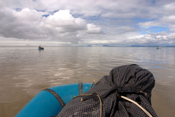
 1921 - Climbing into the rafts in the thigh-deep marsh at the edge of Nushagak Bay.
|
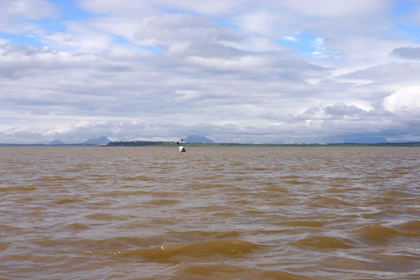
 1929 - Alpacka rafts floating on calm glassy water on Nushagak Bay.
|
 1930 - Alpacka rafts floating on calm glassy water on Nushagak Bay.
|
||||
 1932 - Alpacka rafts floating on calm glassy water on Nushagak Bay.
|
 1934 - Paddling towards Dillingham in Nushagak Bay.
|
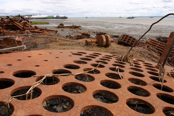 1936 - Rusting debris on the shore of Nushagak Bay, at the edge of Dillingham.
|
||||
 1939 - Muddy shores of Nushagak Bay, at the edge of Dillingham.
|
 1946 - Wandering the mud flats of Nushagak Bay, near Dillingham.
 1960 - Group photo in Dillingham with Jesse of the Bristol Bay Times.
|
|||||
 1962 - Fishing boats on the horizon on Nushagak Bay.
|
||||||
|
Click on photo to see a larger version. Click on "high-res" to get a 2-10 Mb file for printing. | ||||||
 1966 - Alpacka rafts on the beach at Clark's Point, looking out across Nushagak Bay.
|
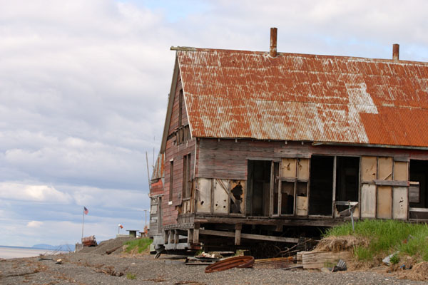 1969 - Decaying building at Clark's Point village, on Nushagak Bay.
|
 1970 - Fish heads and tails discarded on the beach at Clark's Point.
|
||||
 1971 - Old boat and cemetary at Clark's Point.
|
 1972 - Sea encroaching on buildings and cemetary at Clark's Point.
|
 1973 - Boats moored off Clark's Point in Nushagak Bay.
|
||||
 1974 - Fishermen picking set nets at low tide in Clark's Point.
|
 1979 - Cat in the mud, Ekuk village in the background.
|
 1982 - Cat in the mud near Ekuk.
|
||||
 1983 - Tom crossing a muddy bridge in the tidal sloughs behind Ekuk
|
 1986 - Tidal sloughs behind Ekuk.
|
 1990 - Looking through an abandoned building behind Ekuk.
|
||||
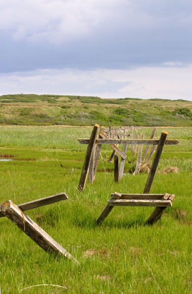 1996 - Fence? (I'm not sure what this is), behind Ekuk.
|
 1999 - Tidal slough behind Ekuk.
|
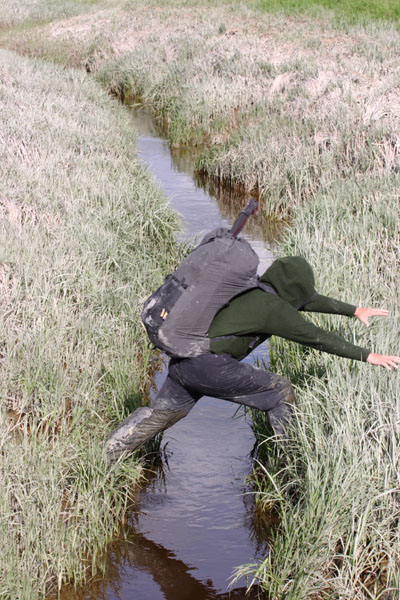 2000 - Tom jumping a tidal slough behind Ekuk.
|
||||
 2001 - Bird on a pole in Ekuk.
|
 2002 - Man working on a shed roof in Ekuk.
|
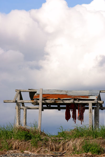 2003 - Salmon strips drying near the beach in Ekuk.
|
||||
|
Click on photo to see a larger version. Click on "high-res" to get a 2-10 Mb file for printing. | ||||||
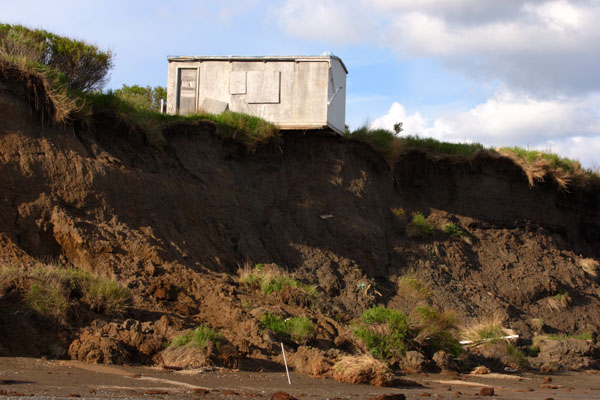 2007 - Structure on the edge of the eroding bluffs.
|
 2008 - Bluffs along the Bristol Bay coast.
|
 2010 - Evening light and 4-wheeler tracks along the beach.
|
||||
 2013 - Clods of peat eroded from the bluffs along the beach.
|
 2014 - Crumbling bluffs and tundra.
|
 2023 - Tom fishing in the sunset on the Bristol Bay coast.
|
||||
 2028 - Sunset lights up a strip of water left behind by the tide.
|
 2030 - Red glow of the setting sun on bluffs and a cabin.
|
 2031 - Sunset on the Bristol Bay coast.
|
||||
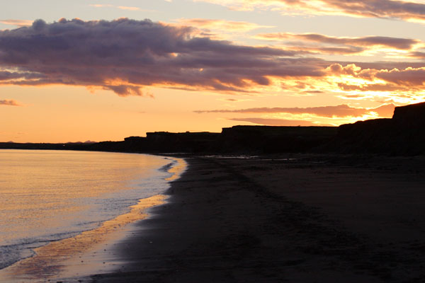
 2034 - Sunset over Bristol Bay.
|
 2036 - Sunset on the bluffs along the Bristol Bay coast.
|
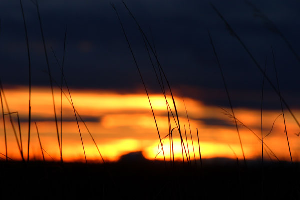 2039 - Sunset sky behind grass on the bluffs.
|
||||
 2049 - Rusting trucks and cabin along the beach.
|
 2054 - Water running down a muddy landslide slope on the Bristol Bay coast.
|
 2063 - Texture of the bluffs.
|
||||
 2065 - Hills on the horizon beyond the Bristol Bay mud flats.
|
 2066 - Alder and grass on the Bristol Bay bluffs.
|
 2068 - Puffy clouds reflected in the mud flats at low tide.
|
||||
 2069 - Edge of the beach and hills on the horizon, over the Bristol Bay mud flats.
|
 2083 - Tom checking out a dead walrus washed up on the shore.
|
 2092 - Bear tracks in the mud on the Bristol Bay coast.
|
||||
 2095 - A cloud of dust rises from Tom's feet as he skates down the bluff.
|
 2096 - Unidentified tracks on the beach.
|
 2097 - Bristol Bay coast.
|
||||
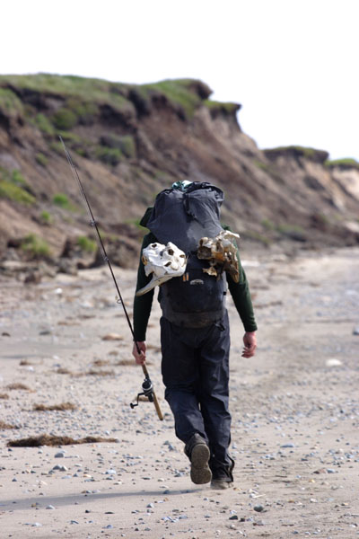 2100 - Tom walking along the beach, with fishing rod.
|
 2106 - Eagle soaring over Bristol Bay.
|
 2117 - Low tide on Bristol Bay.
|
||||
 2119 - Mt. Katmai visible across the bay.
|
 2129 - Approaching abandoned cabins on the bluffs over Bristol Bay.
|
 2130 - Abandoned cabin at the edge of the bluffs.
|
||||
 2144 - Bluffs along the Bristol Bay coast.
|
 2149 - Muddy stream feeding into Bristol Bay.
|
 2154 - Abandoned cabin against a dark sky along the Bristol Bay coast.
|
||||
 2162 - Ripples in the mud at low tide.
|
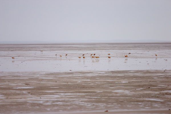 2163 - Sandhill cranes feeding in the Bristol Bay mud flats at low tide.
|
 2171 - Muddy tidal slough on Bristol Bay.
|
||||
 2184 - Swallow homes in the bluffs along Bristol Bay.
|
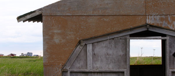
 2185 - Happy face building on the Bristol Bay coast.
|
 2191 - Steel cables on the beach.
|
||||
|
Click on photo to see a larger version. Click on "high-res" to get a 2-10 Mb file for printing. | ||||||
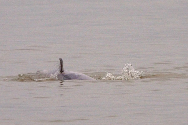
 2197 - Beluga surfacing near the mouth of Kvichak Bay.
|
 2198 - Splash showing how close the belugas were to shore.
|
 2206 - Beluga in Kvichak Bay, part of 100+ pod.
|
||||
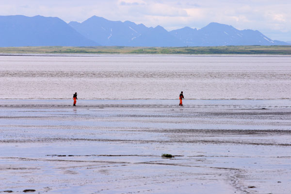
 2218 - Tom wading thigh-deep mud in a slough on Kvichak Bay.
|
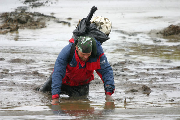
 2225 - Tom crawling in thigh-deep mud in a slough on Kvichak Bay.
|
|||||